Descárgate el track aquí
Descárgate el itinerario solo de ida aquí
Descárgate el rutómetro solo de ida aquí
Descárgate el rutómetro de ida y vuelta aquí
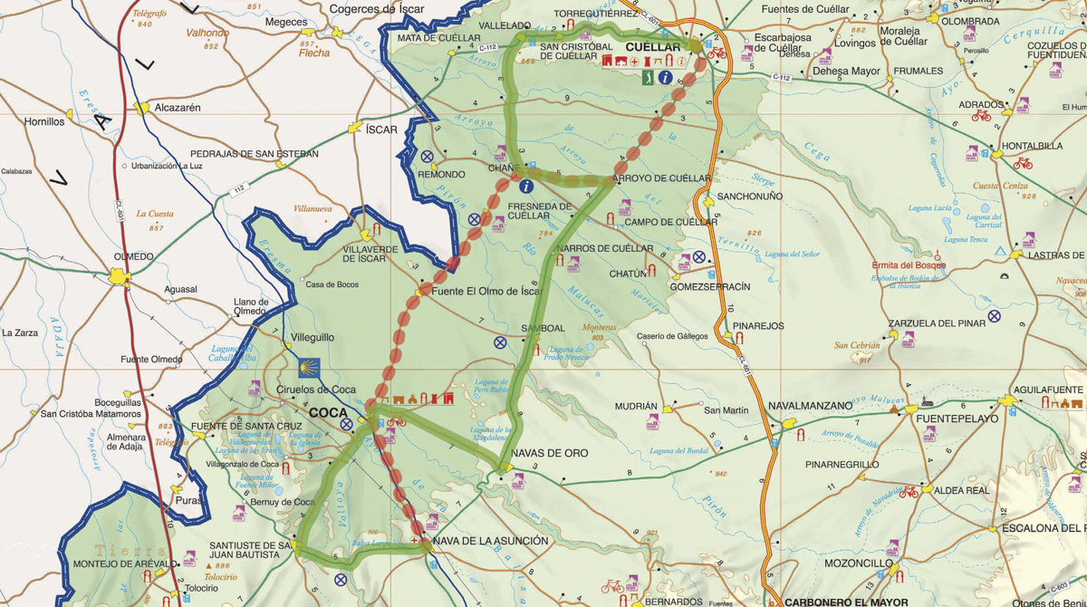
- Distancia: 107 km
- Dificultad: baja
- Perfil: llano
- Tiempo estimado: 4h
- Cota máxima: 886 msnm
- Pendiente: +2%
- Cota mínima: 754 msnm
- Pendiente: -3,2%
- Carreteras: SG-343 / SG-V-3431 / SG-V-3422 / SG-342 / SG-P-3421 / SG-V-3331 / CL-112 / SG-342 / SG-V-3421 / SG-P-3341 / SG-P-3432
Accede directamente al área de SEGOVIA CICLOTURISMO donde encontrarás más información sobre rutas, noticias, experiencias o alojamientos pedaleasegovia.es